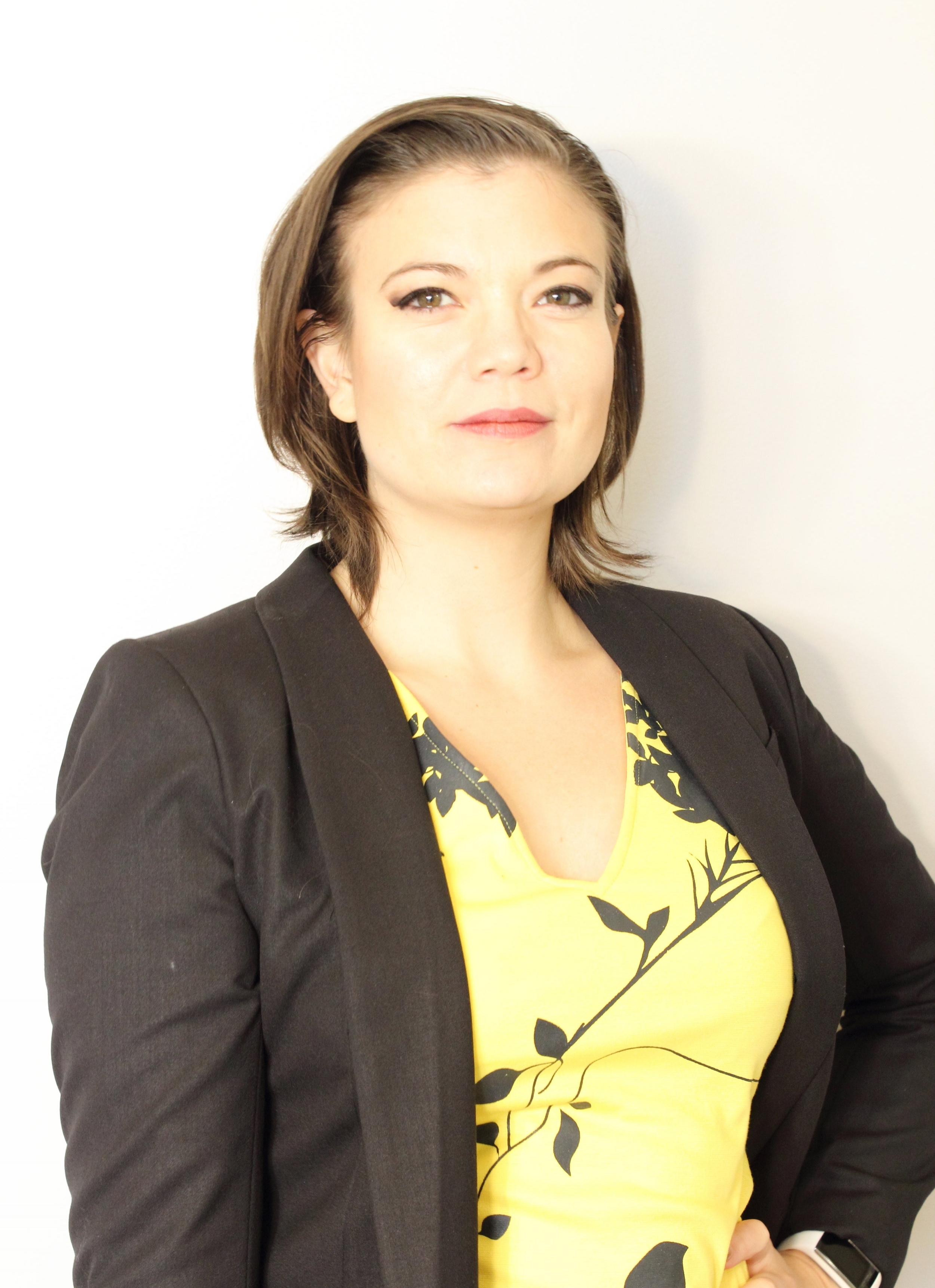

Veronica Klassen
Offering Integrated Solutions
As a GIS Analyst/Developer, working in a civil engineering company I have been exposed to inter-disciplinary technologies and demonstrated an ability to produce results in a fast paced environment.
My path to GIS was unconventional because it began early in my career as a civil technologist. It was in this dynamic environment that I was driven to seek more effective strategies to deal with geographical data and streamline redundant processes. I recognized the need for GIS before my colleagues or industry was familiar with what GIS truly was. My work now includes python scripting, remote sensing, spatial analysis, data management and process development for interoperability support as well as automated analysis and mapping.
Throughout my time at ISL Engineering I have pioneered GIS methods to streamline and improve project deliverables. These techniques and processes reduced processing time and produced information rich references (helpful for urban and municipal design). My use of attributing spatial awareness to tabular data has facilitated the display of traffic analysis and linked information to team members in an intuitive manner. In addition, I have also produced web map applications that increase project communication and assist in preliminary design.
I have extensive experience using simple, creative GIS approaches to enhance the quality of projects.