GIS provides tools to simplify workflows in any industry because it provides a virtual environment where data can be translated into information and distributed across many software platforms. Most of my experiene working with GIS has been within an engineering environment the following examples illustrate some possibilities on how GIS can serve in different situations.
Python Automation
Analysis and mapping in a flash!
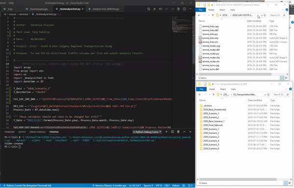
Python is an open source community based programming language. Arcpy is the site package used to execute powerful geoprocessing tools. When implemented appropriately Python can be a powerful tool in production.
Synchro to AutoCAD - an inter-operable workflow
Adding spatial awareness can be used in creative ways to facilitate the flow of information and create inter-operable workflows. In this example the traffic analysis information derived from Synchro needed to be displayed within an AutoCAD exhibit. The previous manual process involved very mundane and time consuming data entries followed by intensive review by the traffic analysis engineer. By using ArcGIS, objects created in AutoCAD can be attributed with the exported data from Synchro. This process eliminates the need for manual entry, which saves time and increases accuracy.


Spatial Awareness
Data is spatially aware when it is attributed to an object that is associated to a real world location. Tabular data can become spatially aware by plotting spatial information from within the data or by linking tabular information to existing spatially aware objects. Once there is a spatial component geoprocessing and spatial analysis can be preformed against the tabular data. Geocoding addresses is an example of plotting existing information and the following Synchro to AutoCAD workflow is an example of linking tabular information.
Geocoded address
Geocoding address information is a common tool used to add spatial awareness. Online maps such as google maps and bing use this type of technology to locate addresses, but it will not consume a table of addresses to perform unique analysis.
This is a two part process, first you configure an address locator in ArcCatalog then you can use that locator to geocode addresses from a table in ArcMap. Below is a simple example using Starbucks addresses within Calgary. The address locator was configured from open source road network data from The City of Calgary.


